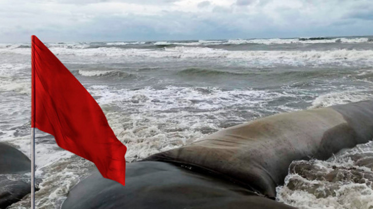
Photo : Collected
Cyclonic Storm Michaung over Southwest Bay and adjoining area moved North-Northwestwards and now lies over West central Bay of Bengal and adjoining area.
It is likely to move North-Northwestwards and intensify further, according to the latest bulletin of Bangladesh Meteorological Organisation (BMD).
It was centred at 6am on Monday about 1545 km Southwest of Chattogram port, 1510 km Southwest of Cox’s Bazar port, 1390 km Southwest of Mongla port and 1405 km Southwest of Payra port, said the bulletin.
All maritime ports have been advised to keep hoisted distant warning signal no. two ( R ) two.
Maximum sustained wind speed within 54km of the cyclone centre is about 62 kph rising to 88 kph in gusts/squalls.
Sea will remain very rough near the cyclone centre.
Light rain/thunder showers accompanied by temporary gusty wind is likely to occur at one or two places over Khulna, Barishal & Chattogram divisions today. Weather may remain mainly dry with partly cloudy sky elsewhere over the country.
The deep depression over the Bay of Bengal on Sunday intensified into a cyclonic storm 'Michaung' and is likely to cross the South Andhra Pradesh coast between Nellore and Machilipatnam during the forenoon of December 5 as a severe cyclonic storm with a maximum sustained wind speed of 90-100 kmph gusting to 110 kmph, the India Meteorological Department (IMD) said.
Messenger/Fameema


